March Auction
Lot 4:
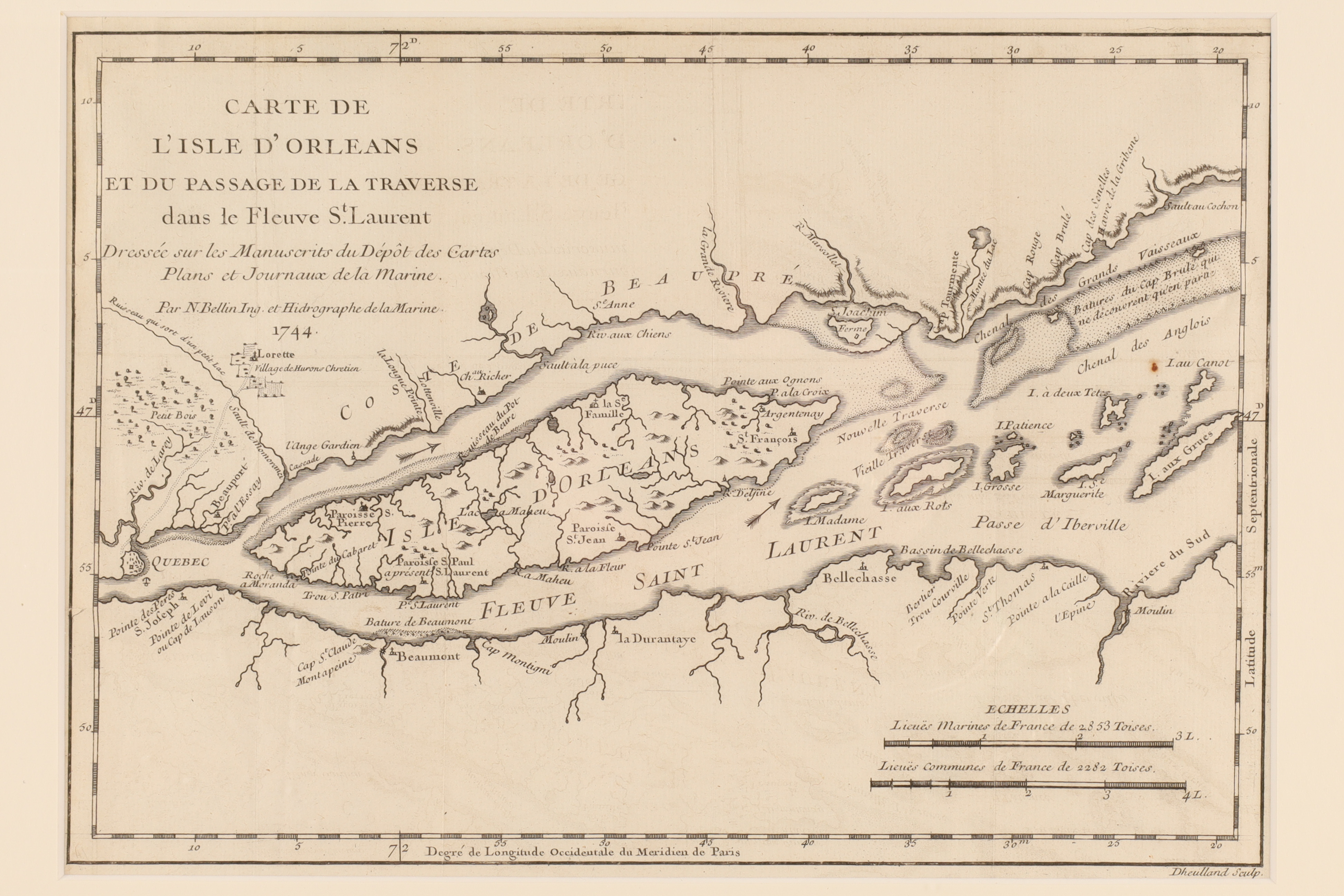
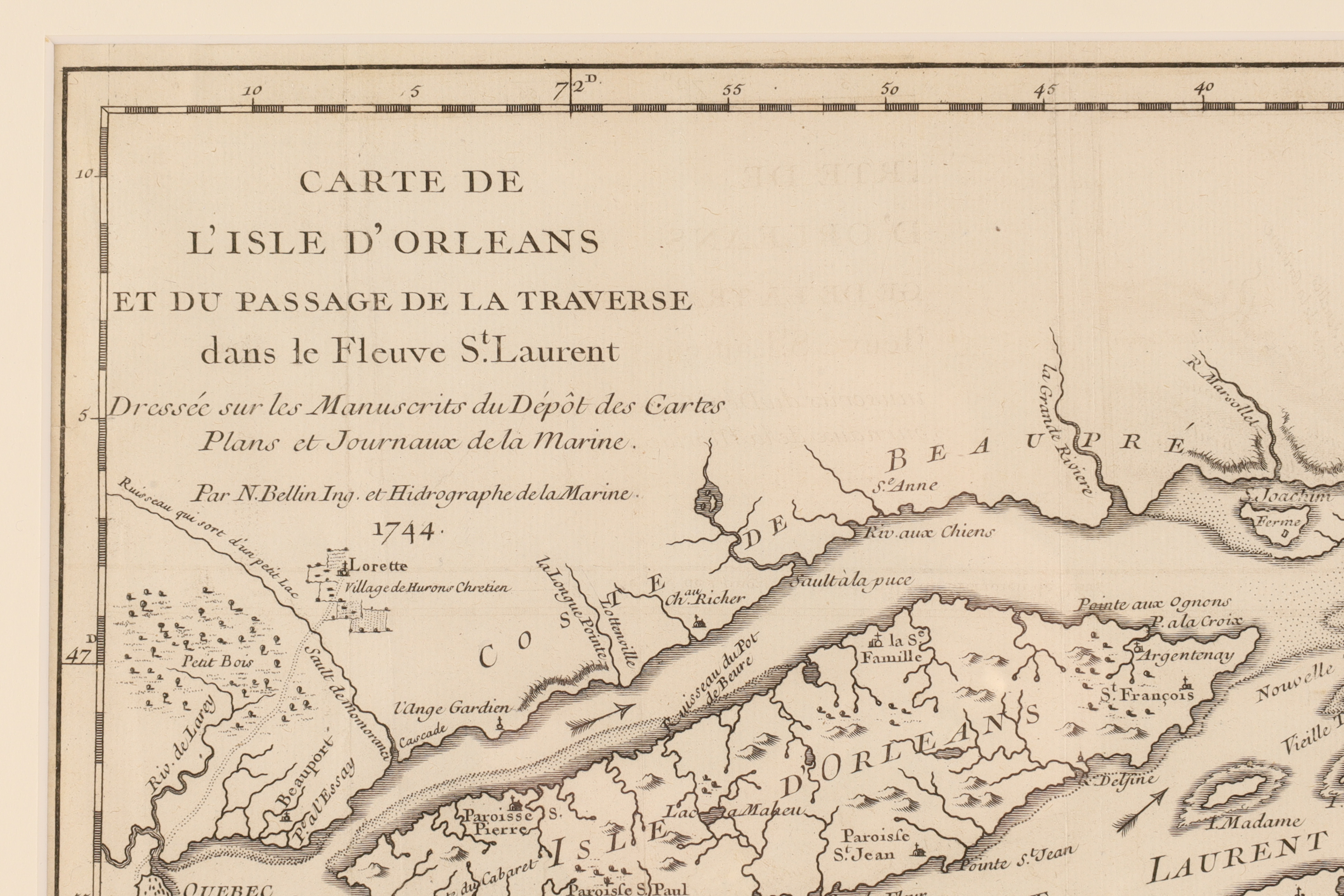
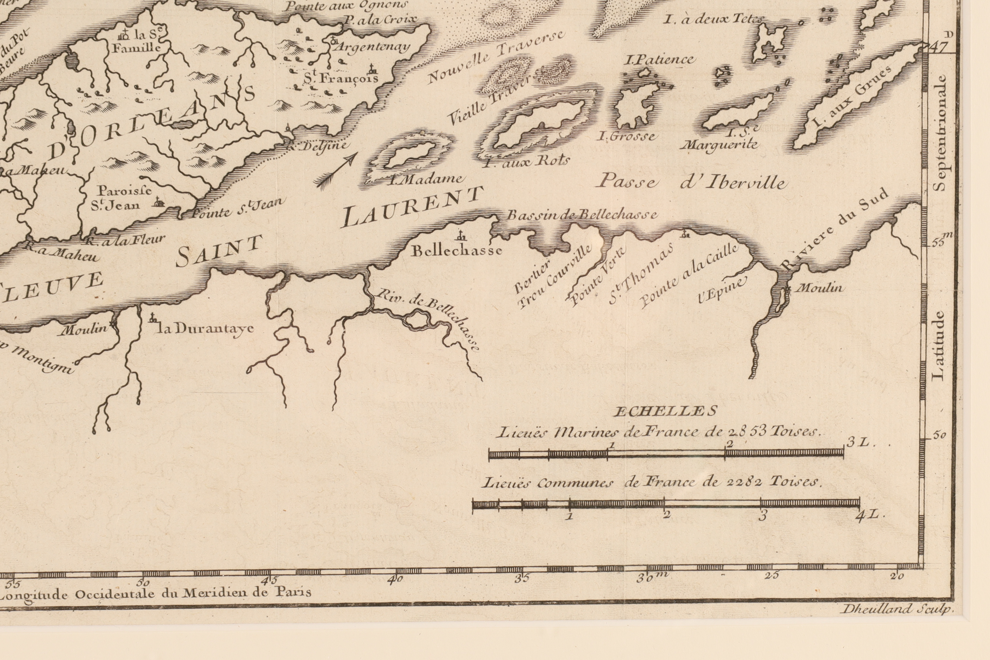
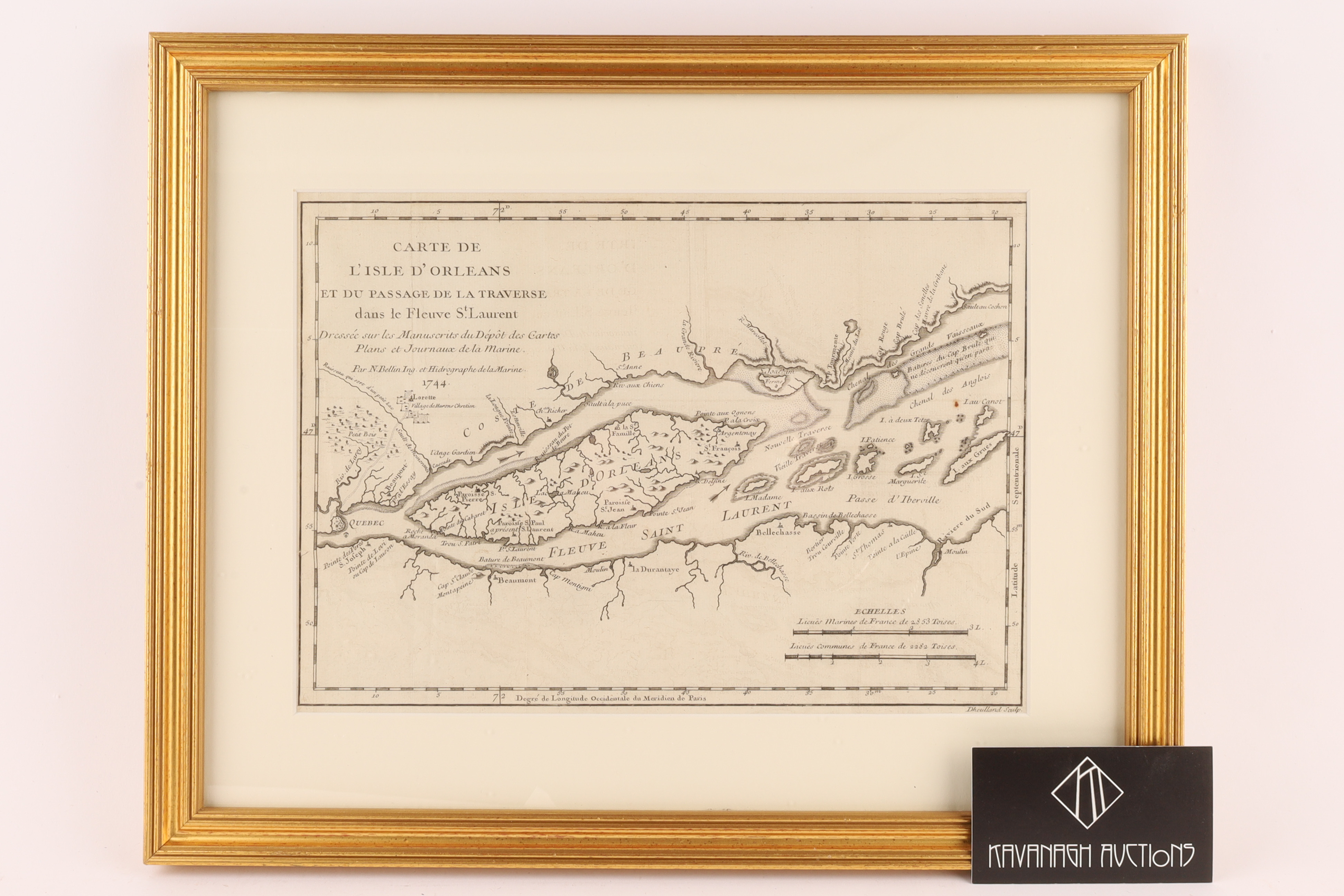
Nicolas Bellin Copper Engraving 1744, Quebec Map, Carte de L'Isle D'Orleans
Description
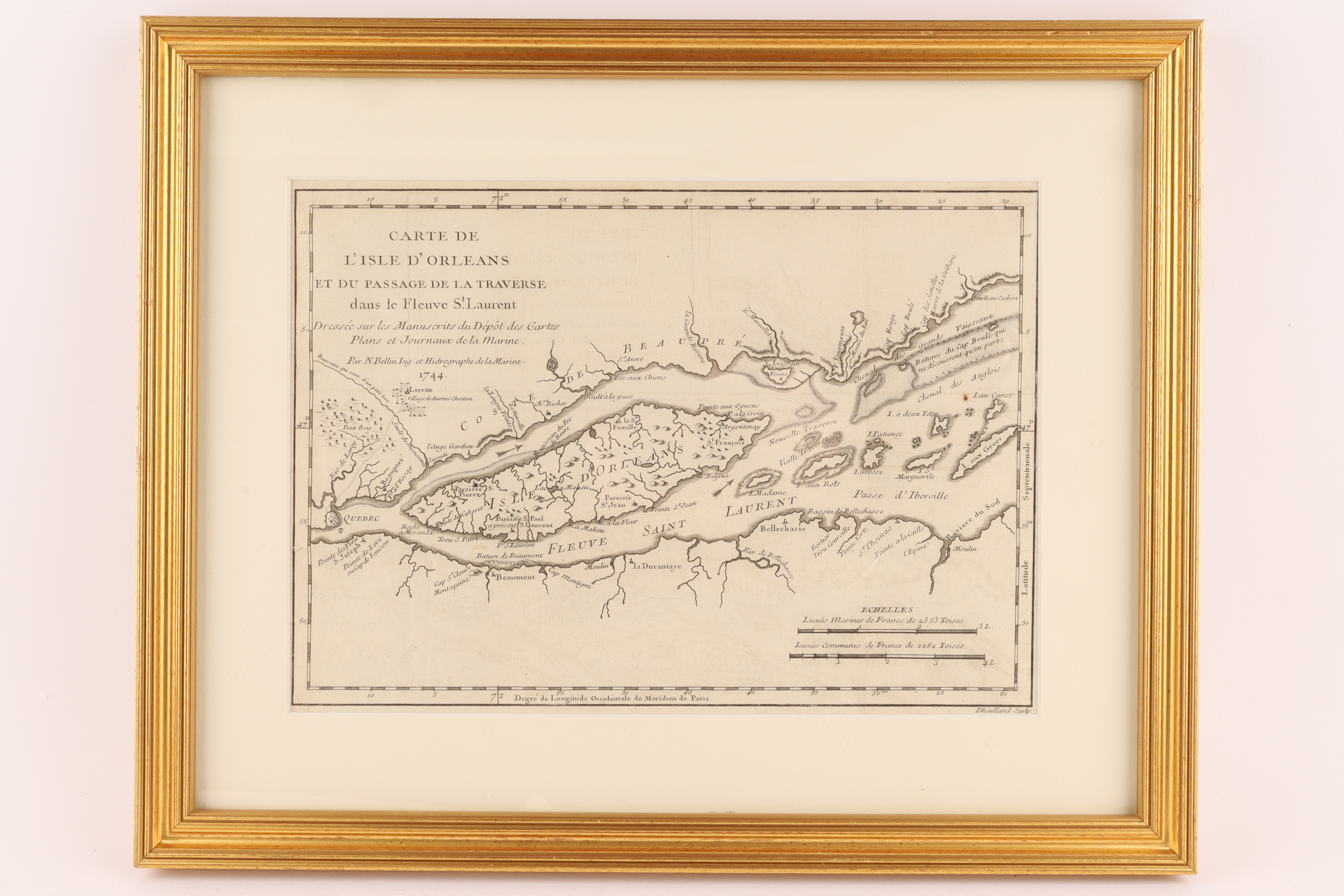
Framed antique map titled Carte de L’Isle D’Orleans et du passage de la traverse dans le Fleuve St.Laurent, created by Jacques Nicolas Bellin in 1744.
The map shows the Ile d’Orleans and a passage in the St. Lawrence River, near Quebec.
It was originally published in Histoire et description generale de la Nouvelle France by Pierre Francois-Xavier de Charlevoix.
The map is a black and white engraving, typical of the 18th century.
Bellin was a noted French hydrographer and geographer.
Image measures 7.75 inches H x 10.75 W within matting, frame measures 12 x 15 inches. Some creases to paper.
Share this lot: